Using Satellite Lightning Data for Forecasting
April 26, 2021 08:50 AM
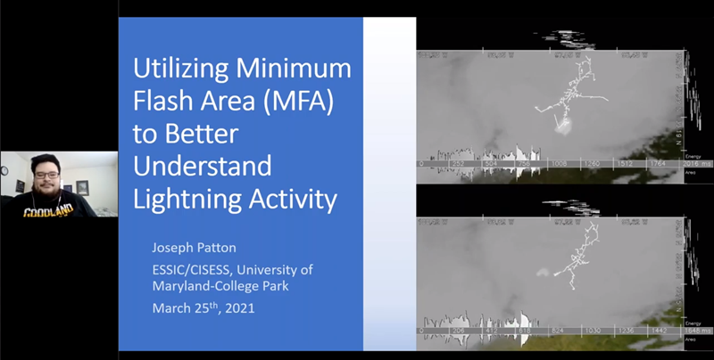
CISESS Scientist Joseph Patton was a speaker at the “Satellite Book Club,” a program run by the NWS Forecast Decision Training Division (see https://training.weather.gov/fdtd/). His talk was about how to use the GOES-R Geostationary Lightning Mapper (GLM) as a tool in forecasting. The presentation focused on using the Minimum Flash Area gridded product from the Geostationary Lightning Mapper instruments aboard GOES-16 and GOES-17 to better understand lightning activity within thunderstorms. This information helps forecasters build a more complete conceptual understanding of how thunderstorms are evolving based on their lightning characteristics, allowing forecasters to make more informed decisions in operational environments.
He received a commendation letter this week from GOES-R Data Operations Manager Matthew Seybold for his “outstanding” presentation: “It was on point with a primary goal of the seminar series - to facilitate communication between users and developers of satellite data and ultimately deliver refined & effective capabilities to NWS forecasters.” The talk was recorded and is available at https://youtu.be/P4iZNJrGITA.
« Back